Professional Land Topographic Surveying for Accurate Site Planning
Hussain Builds provides high-precision land topographic surveys using the latest RTK-GPS and Drone (UAV) technology. We specialize in the geospatial measurement and mapping of surface elevations, contour features, and natural terrain, furnishing detailed spatial data for informed decision-making.
Our services are essential for precise site planning and civil engineering design, whether you are developing a residential plot, commercial land, or a large-scale housing scheme in Pakistan. We provide data in CAD-compatible formats (DWG/DXF) and Point Cloud data for seamless integration into the workflows of architects, engineers, and developers across Karachi, Lahore, Islamabad, and beyond.
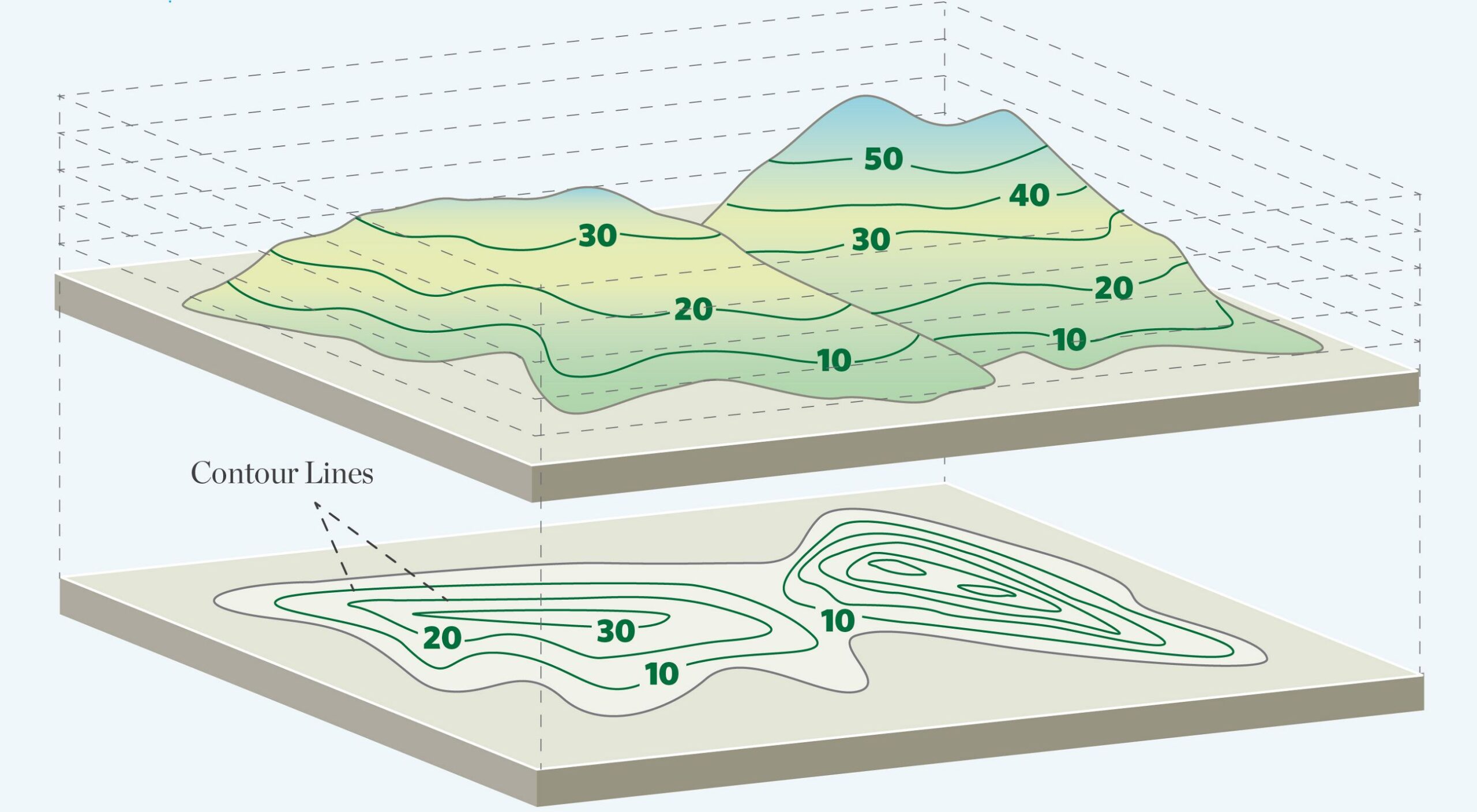
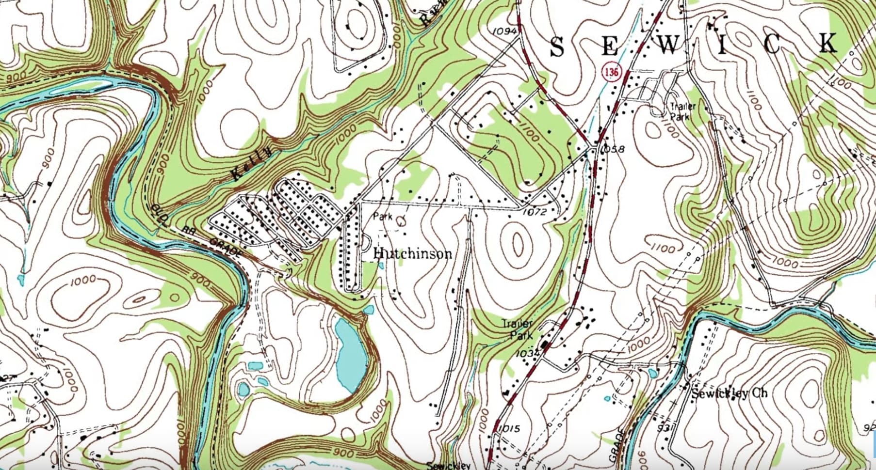
- Precision Contour Mapping: Detailed topographic maps featuring accurate elevation, slope analysis, and customized contour intervals.
- Advanced Data Collection: Utilization of Total Stations, GNSS/GPS, and Aerial Photogrammetry (Drone Surveys) for rapid and accurate site data.
- Pre-Construction Feasibility: Focused on site feasibility studies and pre-construction planning to identify potential land challenges or boundary disputes.
- Engineering Grade Documentation: Professional topographic reports, Digital Terrain Models (DTM), and Digital Elevation Models (DEM) ready for architectural and engineering use.
Understand your land before you build. Our professional geodetic surveying services enable you to:
- Identify Terrain Obstacles: Unlock hidden prospect areas and identify drainage patterns or slope constraints early.
- Reduce Construction Costs: Minimize excavation and leveling errors, saving money through accurate cut and fill volumetric calculations.
- Optimize Land Resource Management: Enhance the overall site layout and master design by working with real-world dimensions and geographic coordinates.
- Streamlined Workflow: Direct integration of GIS data and CAD files into your architectural and engineering software (AutoCAD, Civil 3D).
Our expert geodetic surveying team has extensive experience across the residential, commercial, and industrial sectors. Using industry-leading equipment and GIS mapping software, we ensure each survey delivers precise, reliable, and ready-to-use topographic data. We take pride in our quick turnaround times, high-resolution data visualization, and a strong commitment to surveying accuracy and quality standards.